
We infuse your projects with a robust ecological perspective by gathering critical field data and transforming it into actionable insights that guide strategic planning, support effective implementation, and enable rigorous impact verification while addressing community priorities
Our services
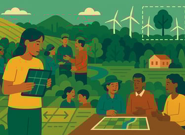
Our Approach
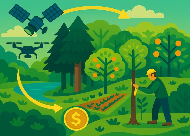
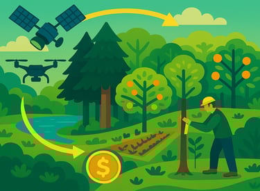
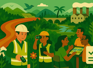
At Ecobasics, our strength lies in our ability to blend traditional field techniques with cutting-edge digital technologies, ensuring every project is backed by comprehensive, reliable data. Our integrated approach covers every aspect of ecological assessment

Advanced Field Surveys
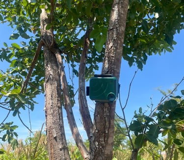
Standardised sampling protocols—including point counts, line transects, vegetation plots, and quadrats—with specialised camera traps and bioacoustic monitoring for precise biodiversity assessments.
Multi-sensor Remote Sensing
Integration of optical (Sentinel-2, Landsat), radar (Sentinel-1, ALOS PALSAR), and LiDAR data with expert ground truthing for detailed ecosystem structure analysis
Advanced Analytics
Sophisticated ecological modeling, occupancy analysis, and machine learning-driven predictive modeling to transform raw data into actionable ecological insights
Digital Data Collection
Custom mobile applications with built-in validation protocols and rigorous quality control measures to ensure accurate field data and reliable reporting.
Our
Key Services
Tree Census
Comprehensive field surveys to assess tree populations and map vegetation for ecosystem monitoring


We offer a comprehensive range of tailored ecological services designed to meet diverse project needs, ensuring a deep understanding of environmental impacts through data-driven insights.
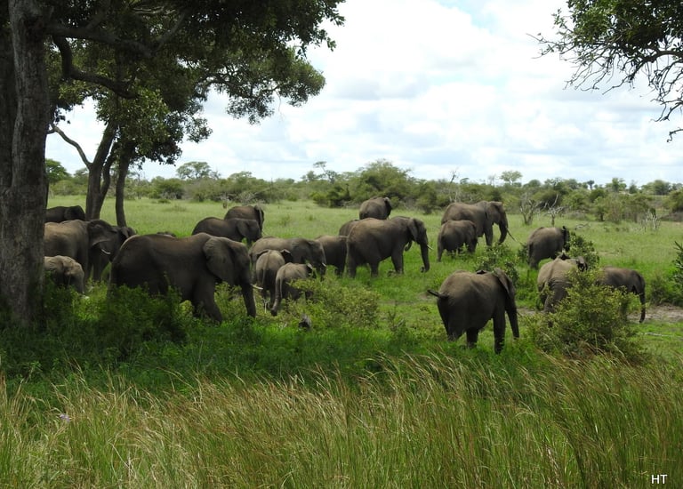
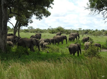
Biodiversity Surveys
Standardised assessments using point counts, line transects, vegetation plots, and quadrats to document flora and fauna diversity


Remote Sensing
Optical, radar, and LiDAR data for detailed land cover, land use, watershed, and terrain analyses.
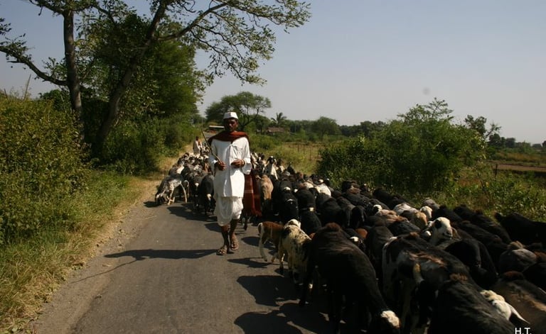
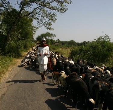
Social Surveys
Field-based surveys to collect essential community and economic data that inform environmental strategies and community wellbeing


Sustainability Reporting
Optical, radar, and LiDAR data for detailed land cover, land use, watershed, and terrain analyses.
Service Packages
Our service packages cater to a wide range of ecological and sustainability needs, offering everything from rapid desk-based assessments to comprehensive field-based investigations and long-term carbon and monitoring solutions.


Basic Analysis
Rapid desk-based assessments that synthesize global peer-reviewed research, biodiversity databases, and historical records to establish detailed ecological baselines and trends, identify risks and opportunities, and develop actionable, region-specific plans—all within a 72-hour turnaround at a fraction of the cost of fieldwork.
Key components include:
Expert synthesis of research and technical publications
Advanced processing of biodiversity databases and monitoring networks
Multi-year ecosystem trend analysis using historical records
Evaluation of environmental regulations and standards
Identification of risks and evidence-based mitigation strategies
Development of practical, region-specific action plans
Advanced Field-Based Analysis
A definitive ecosystem assessment that blends extensive data analysis with targeted field data collection to document flora and fauna, social-economics, analyse ecosystem dynamics, and develop site-specific monitoring protocols with high precision and adaptive management strategies over a 5-week period.
Key components include:
Standardised field assessments and digital data collection
Systematic biodiversity documentation using established sampling protocols
Detailed species distributions and habitat analyses
Comprehensive soil, water, and atmospheric assessments
Community engagement through stakeholder interviews and participatory mapping
Measurement of ecosystem services using standardised metrics


Carbon & Nature Solutions
Comprehensive support for forest carbon initiatives, climate-smart agriculture, and nature-based interventions—from scoping and eligibility assessments to implementation, monitoring, and long-term verification—ensuring projects meet international standards and achieve optimized carbon yields with reduced risks.
Key components include:
End-to-end support for carbon projects (REDD+, APDD/AUDD, ARR, IFM), from scoping and eligibility checks to implementation, monitoring, reporting, and verification, fully aligned with international and national certification standards and registries
Field-derived baseline scenarios and carbon estimates
Stakeholder-informed species selection and rigorous field measurements
Integrated and dynamic MRV pipelines with advanced risk assessment
Support for project documentation (PIN, PFA, FA, PDD) using AI-enhanced report generation
Sustainability Monitoring & Reporting
Advanced monitoring and reporting services that empower organizations to track their environmental impact, achieve science-based targets, and ensure compliance with global sustainability frameworks through robust digital data collection and transparent reporting.
Key components include:
Accurate measurement of biodiversity, carbon, water usage, and resource utilization
Guidance on TCFD, TNFD, and related reporting frameworks
Detailed analysis of sustainability risks across supply chains
Comprehensive documentation for stakeholders and regulatory bodies
Evidence-based recommendations for operational efficiency and risk mitigation
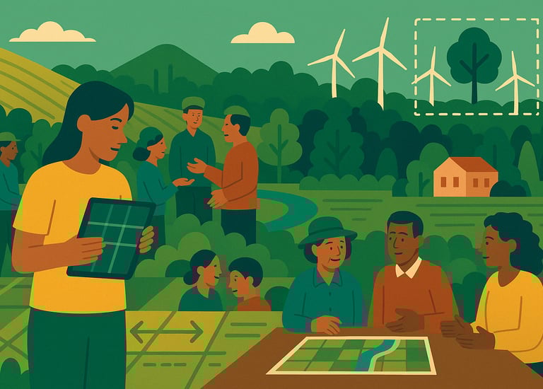
Strategic Focus Areas
We drive sustainable, data-driven transformations across five key domains. From field surveys to advanced analytics, we tailor our work to meet specific project needs, ensuring both ecological integrity and community well-being.
Carbon Project Development
Earn tradable credits by conserving forest, planting idle land, or integrating trees with crops. After a quick satellite‑based eligibility check, our field team maps boundaries, measures biomass and soil carbon, and records biodiversity co‑benefits. We model carbon yields, design site‑specific practices (agroforestry, reduced tillage, fertiliser efficiency), and prepare submissions for Verra, Gold Standard, or other registries. Drones, satellites, and ground surveys support monitoring; we steer you through third‑party verification, credit issuance, and brokerage. Engage us for single steps—eligibility, mapping, data analysis, reporting—or turnkey concept‑to‑sale delivery.
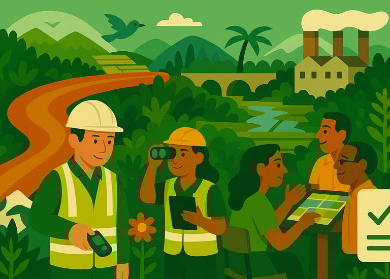
Environmental and Social Impact Assessment
For roads, rail, bridges, cement works, power plants, and similar projects, we deliver IFC‑aligned ESIAs that satisfy national regulators. Specialists in ecology, hydrology, air quality, and socio‑economics conduct baseline surveys, consult communities and landowners, and analyse high‑resolution imagery to flag habitats, wetlands, and wildlife corridors. Quantitative models forecast noise, dust, emissions, and runoff. Results arrive in an executive report detailing mitigation, offsets, and compliance duties. Choose discrete services—baseline mapping, stakeholder engagement, monitoring—or a full ESIA through approval and post‑construction audits.
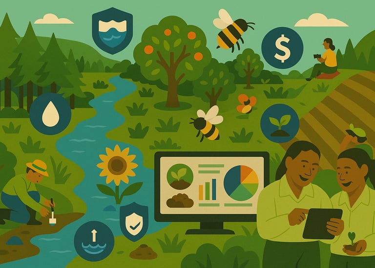
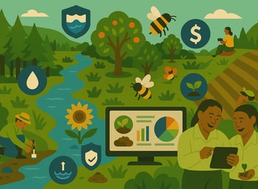
Ecosystem Service Evaluation
Plantations and nature‑based projects gain greater value when their ecosystem services are quantified. Field data, InVEST models, and GIS mapping reveal carbon storage, water filtration, pollination, pest control, erosion control, and cultural benefits. Benefit‑transfer economics converts functions to monetary terms, feeding Natural Capital Accounts, ESG statements, TNFD reports, or investor decks. Select individual tasks—data collection, modelling, valuation—or commission an end‑to‑end study with scenario testing and live dashboards.
Sustainable Land-Use Planning
Our integrated plans balance production and conservation. Soil tests, hydrological maps, land‑cover classifications, and stakeholder workshops create a robust baseline. Scenario models examine crop rotations, agroforestry corridors, and buffer zones under climate projections. Deliverables include spatial plans, timelines, and adaptive‑management indicators tracked via satellite NDVI, SAR alerts, and field checks. Engage us for targeted inputs—eligibility, mapping, monitoring—or comprehensive planning from scoping to long‑term reporting.