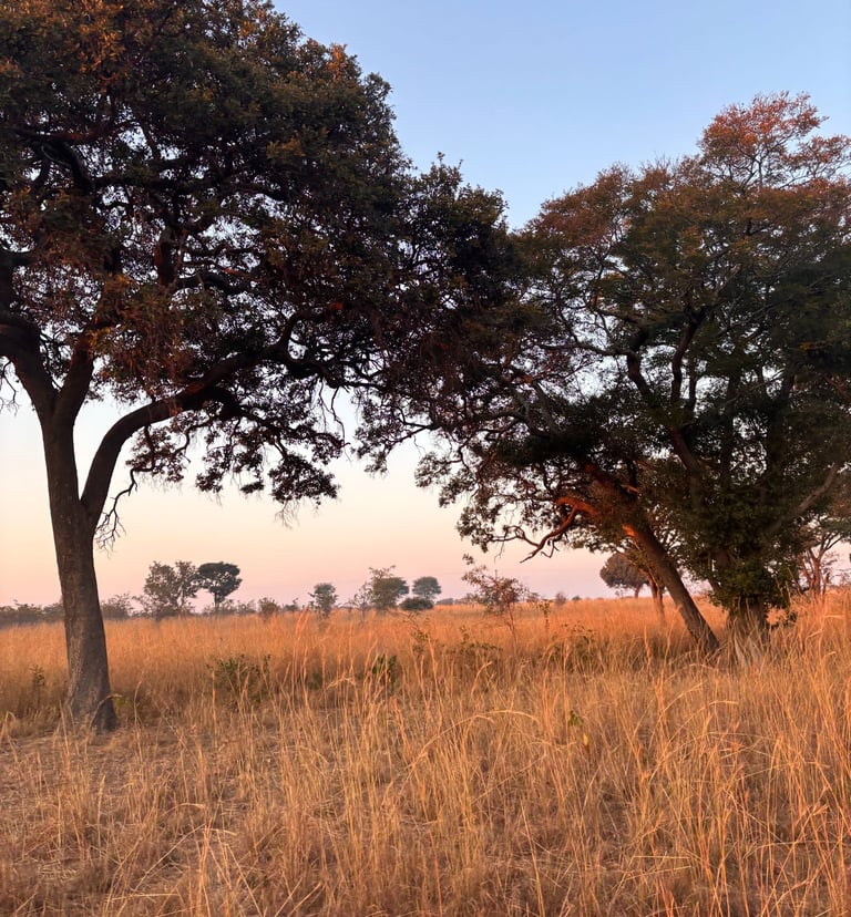
Our Projects
Explore our transformative projects, where extensive data collection, evidence-based management, and rigorous impact monitoring converge to drive sustainable, positive change.
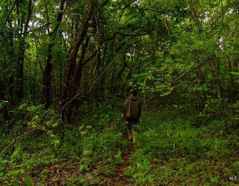
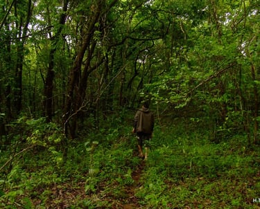
Ecosystem Services and Sustainability Assessment
Biodiversity & Ecosystem Service Evaluation
Corporate Campus, Bengaluru - 2015
Comprehensive baseline assessment of flora, fauna, habitat diversity, and ecosystem services to guide ecological management within an urban corporate campus, integrating cultural and social values with ecosystem services analysis through digital monitoring solutions.
Key Highlights
Surveyed 4,000 individual trees spanning 85 species and 35 families, establishing a robust ecological baseline
Quantified regulatory, cultural, and social values including air quality improvement, carbon sequestration, and recreational benefits
Documented over 150 faunal species including birds, butterflies, and other insects, highlighting urban biodiversity value
Identified and documented areas of cultural and social significance, integrating these with ecological conservation plans


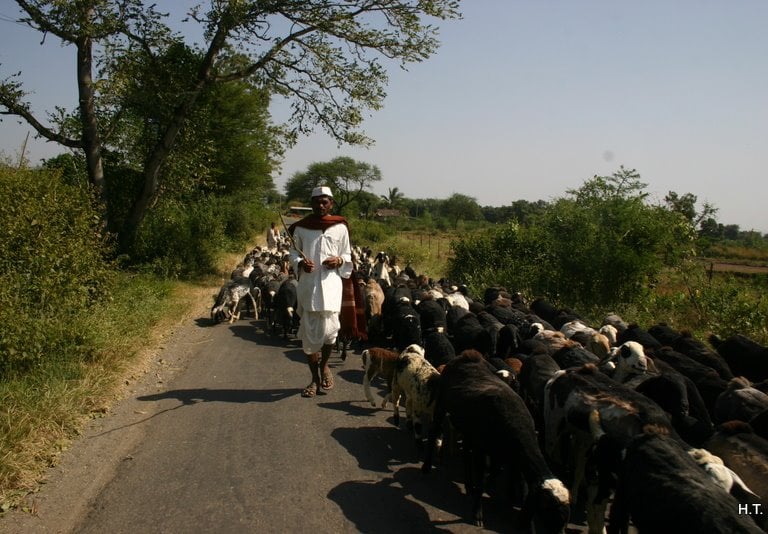
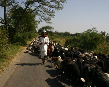
Sustainability Consulting and Mapping
Watershed & Farm Mapping
Subsistence farmers, Maharashtra-2012 to 2020
Long-term watershed development project working with farmer cooperatives and local panchayats to optimise agricultural practices and water resource management through data-driven interventions and digital monitoring solutions.
Key Highlights
Collaborated with farmer cooperatives and local panchayats to ensure sustainable implementation and community ownership
Mapped over 2000 hectares of small-scale farms which included 500+ farmers
Enabled 205 farmers to transition from single to double cropping through improved water availability
Developed integrated water conservation strategies combining traditional knowledge with modern GIS techniques
Created self-sustaining water management systems with continuous digital monitoring for adaptive management
Tree Census and Vegetation Mapping
Tree Census and Inventory
Wadhwa Infrastructure, Maharashtra - 2013
Detailed tree census and inventory to inform sustainable planning for a proposed township project, ensuring reduced ecological impact and more sustainable land management guiding development decisions.
Key Highlights
Mapped over 250 hectares, recording 150 tree species and 20,000 individual trees across four distinct land use types.
Trimble GPS and ArcGIS for precise tree location mapping and distribution analysis
Field morphology (bark, leaves, flowers) cross-referenced with Flora of Maharashtra and IPNI for accurate species identification
Documented varying tree densities across five key land-use types including orchards, agricultural fields, and forest patches
GIS database linking tree locations with species information and health parameters
Strategic recommendations for township planning based on tree density and ecological value
Ecological Impact Assessment
Industrial Expansion Impact Assessment
Tripura, North East India - 2023, 24
Field-based biodiversity impact assessment for a large-scale industrial expansion project, integrating historical land use analysis with detailed species documentation to ensure sustainable development.
Key Highlights
Documented diverse species groups—including trees, vegetation, birds, reptiles, amphibians, invertebrates, and mammals—with over 3000 flora species, 200 fauna species, 6 habitat types, and 12 RET species.
Identified species of conservation significance to inform targeted protection measures.
Mapped 20-year changes in forest and non-forest cover using advanced spectral and radar satellite imagery.
Generated alpha and beta diversity indices to quantify ecosystem health and species distribution.
Developed comprehensive biodiversity and habitat management strategies that balance conservation priorities with development needs.